Grant Program
Research Grants
Grantee Name
Kyrgyzstan Chapter
Grant Start Date
1 July 2022
Grant End Date
30 June 2024
Amount Funded
$200,000.00
City
Bishkek
Country
Kyrgyzstan
Region
Europe
RESEARCH QUESTION
Can we use the Internet of Things in a rough environment to detect landslides and other threats while developing an open and secure infrastructure?
The research takes place in the Kyrgyz Republic.
WHY IS THIS RESEARCH IMPORTANT?
Due to the geographic location of the Kyrgyz Republic, the risk of mudslides and flooding is very high there. Practically on a weekly basis, there are incidents associated with mudflows and floods, which account for up to one-third of all emergencies. Settlements, transport communications, farmland, irrigation facilities and other objects are affected, leading to loss of lives and afflicting colossal damage to the economy. The lack of technologies and connectivity negatively affects the work to prevent emergencies and minimize damage. Thus, it is practically impossible to conduct preventive work for reducing the risks of mudslides, breakthroughs of lakes, and floods. The Ministry of Emergency Situations (MES) states as a priority the use of modern technologies and the ability to conduct forecasting research work, which is now urgently needed.
The research addresses the problem of detecting landslides so that measures to prevent the tailing pit material from reaching the riverbed can be implemented. A timely intervention involves efforts to contain the material in vulnerable areas and prevent its downhill progress.
If the solution developed works in Kyrgyz Republic in a very rough environment, then it works in many other mountainous countries. Improving weather forecasting mechanisms and strengthening early warning systems for hazardous climate events help to save the lives of approximately 23,000 people per year and generate economic benefits of $162 billion.
METHODOLOGY
The initial stage of the project starts with the identification of existing data sources. Through in-depth interviews, the project maps the available information and identifies gaps. This helps to avoid duplication of efforts and to find synergies with existing initiatives and activities.
The second stage identifies a pilot area for setting up the research activity.
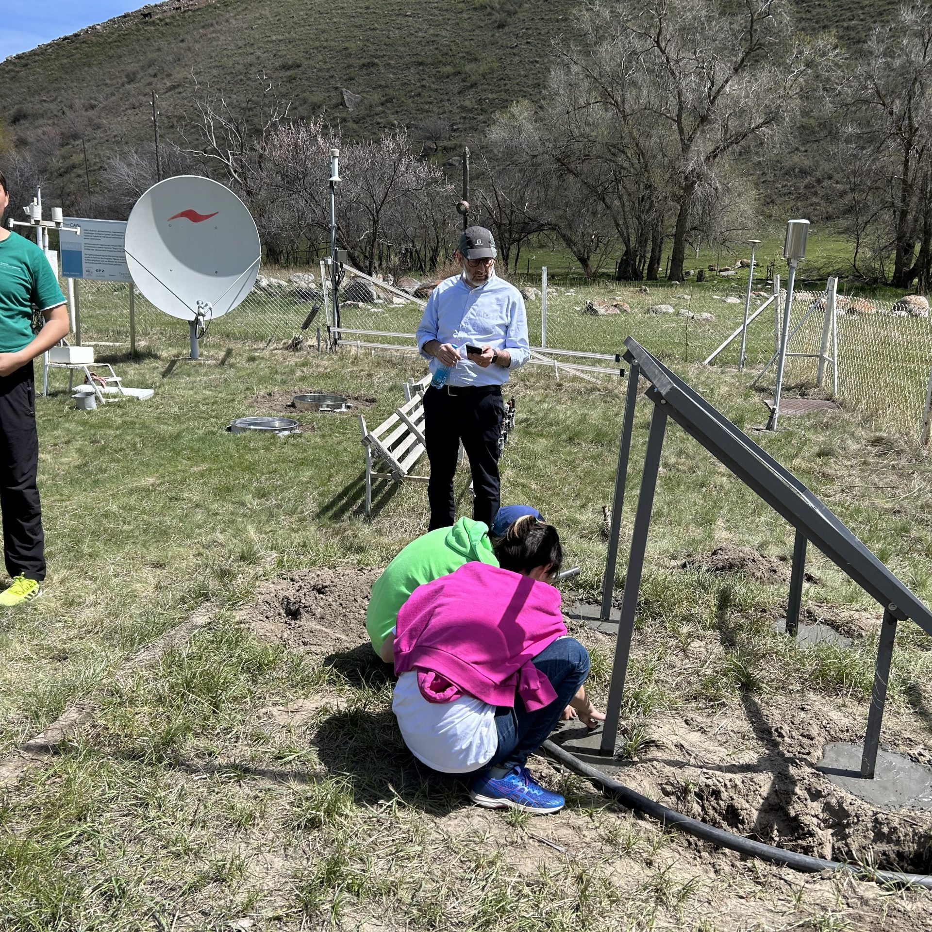
These two stages are followed by the main research activity consisting of setting wireless sensors in fields, collecting data in open monitoring software or infrastructure, visualizing results, checking feasibility and measuring the effectiveness of the deployed methodology.
MEDIA AND PUBLICATIONS
See below for research publications and other articles related to the research.
https://indico.ictp.it/event/10227/overview
https://indico.ictp.it/event/10227/material/2/
https://www.ktrk.kg/kg/media/video/2432
https://www.youtube.com/watch?v=UP5h-FuTr2A&t=1s
https://kginform.com/ru/news/20230520/53622.html
https://24.kg/obschestvo/265850_vboomskom_uschele_ustanavlivayut_dve_avtomaticheskie_stantsii_dlya_meteomonitoringa_/
https://www.for.kg/news-808772-ru.html
https://eltr.kg/ru/v-boome-ustanovlivayutsya-avtomaticheskie-meteostanczii/
https://casian.info/kg/society/v-boome-ustanovlivayutsya-avtomaticheskie-meteostancii-61746.html
https://www.linkedin.com/pulse/installing-automatic-weather-stations-sensors-local-monitoring/
https://isoc.kg/news/digital-leap-lorawan-climate-change-mitigation-kyrgyzstan/
https://mchs.gov.kg/ru/v-boome-ustanovlivayutsya-avtomaticheskie-meteostantsii/
http://dashboard.isoc.kg/d/rum1F-uVz3/meteo-dashboard?orgId=3
http://dashboard.isoc.kg/d/VhaDp-X4z2/sensors-on-the-ground?orgId=3

